Mumbai Commuters Can Now Track BEST Buses Live on Google Maps With Multilingual Support
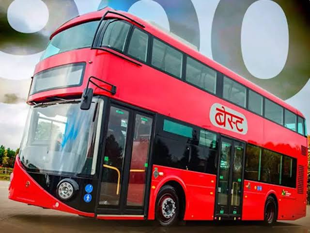
Mumbai, 8th May 2025: Mumbai commuters can now track BEST buses in real time using Google Maps, following the launch of a new digital service inaugurated by Maharashtra Chief Minister Devendra Fadnavis and Deputy Chief Minister Eknath Shinde. The partnership between Brihanmumbai Electric Supply and Transport (BEST) and Google enables passengers to view live updates on bus arrival times, routes, and delays directly within the Google Maps app, making Mumbai’s public transport more efficient and commuter-friendly.
The integration, which went live on May 8, uses the General Transit Feed Specification (GTFS) system to provide accurate, up-to-date information for all GPS-equipped BEST buses. Commuters can now plan their journeys better by checking estimated travel times, route options, and the real-time location of buses, with colour-coded indicators- green for on-time and red for delayed services-highlighting the status of each bus236. This feature is available in English, Hindi, and Marathi, making it accessible to Mumbai’s diverse population.
Officials expect the initiative to reduce uncertainty for bus users, improve daily commuting experiences, and boost the overall use of public transport in Mumbai. The service is part of a broader effort to modernise urban mobility and enhance the reliability of Mumbai’s transport network.